
Road improvement updates now available via online mapping tool
You can now search an online map to find details of roads earmarked for works across the Far North, as part of the NTA's Roading Renewals and Improvement Programme.
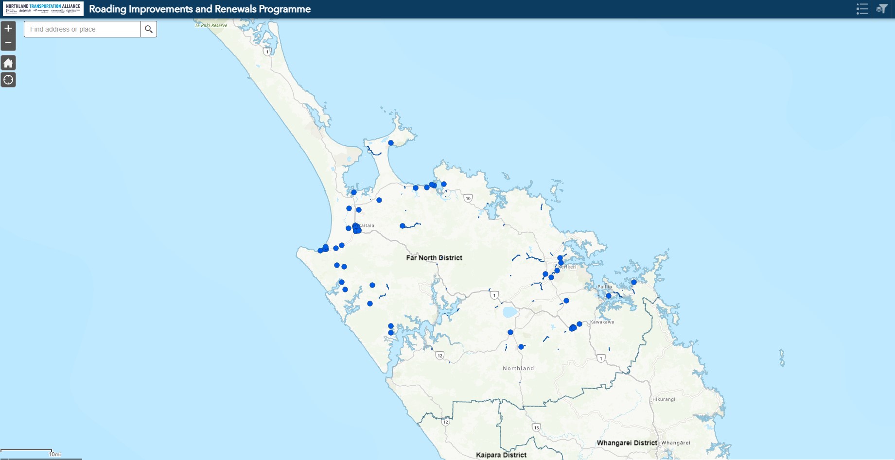
If you’ve ever wondered if a road near you is scheduled for an upgrade, then a new online map launched by the Northland Transportation Alliance (NTA) will now give you that answer. The Geographic Information System (GIS) map highlights roads with works planned or underway across the Far North, that are part of the NTA’s Roading Renewals and Improvement Programme.
The NTA represents all three district councils in the Northland Region and accessing the online map is now publicly available via each council’s website. A link from each website takes users to a GIS map specific to that council area. Zooming in on the map (using the plus and minus symbols) allows users to navigate their way into each highlighted roading location. Clicking on a highlighted map point also reveals details of what is being done on the section of road, why, when it will start, and what the project status is (e.g. if it is at design stage, planning stage, or if construction is underway).
The publicly accessible maps will improve the visibility of the Roading Improvements and Renewals Programme to residents across Northland. Works undertaken by NTA’s maintenance teams are not included in these maps.
Map information will be updated monthly.
Each council map link is listed below.
Tags: News story