
Significant Natural Areas identified in Far North
The Council will be sending letters to approximately 8000 Far North property owners this week to highlight how they can help protect unique indigenous species and habitats on their land.
The Council will be sending letters to approximately 8000 Far North property owners this week to highlight how they can help protect unique indigenous species and habitats on their land.
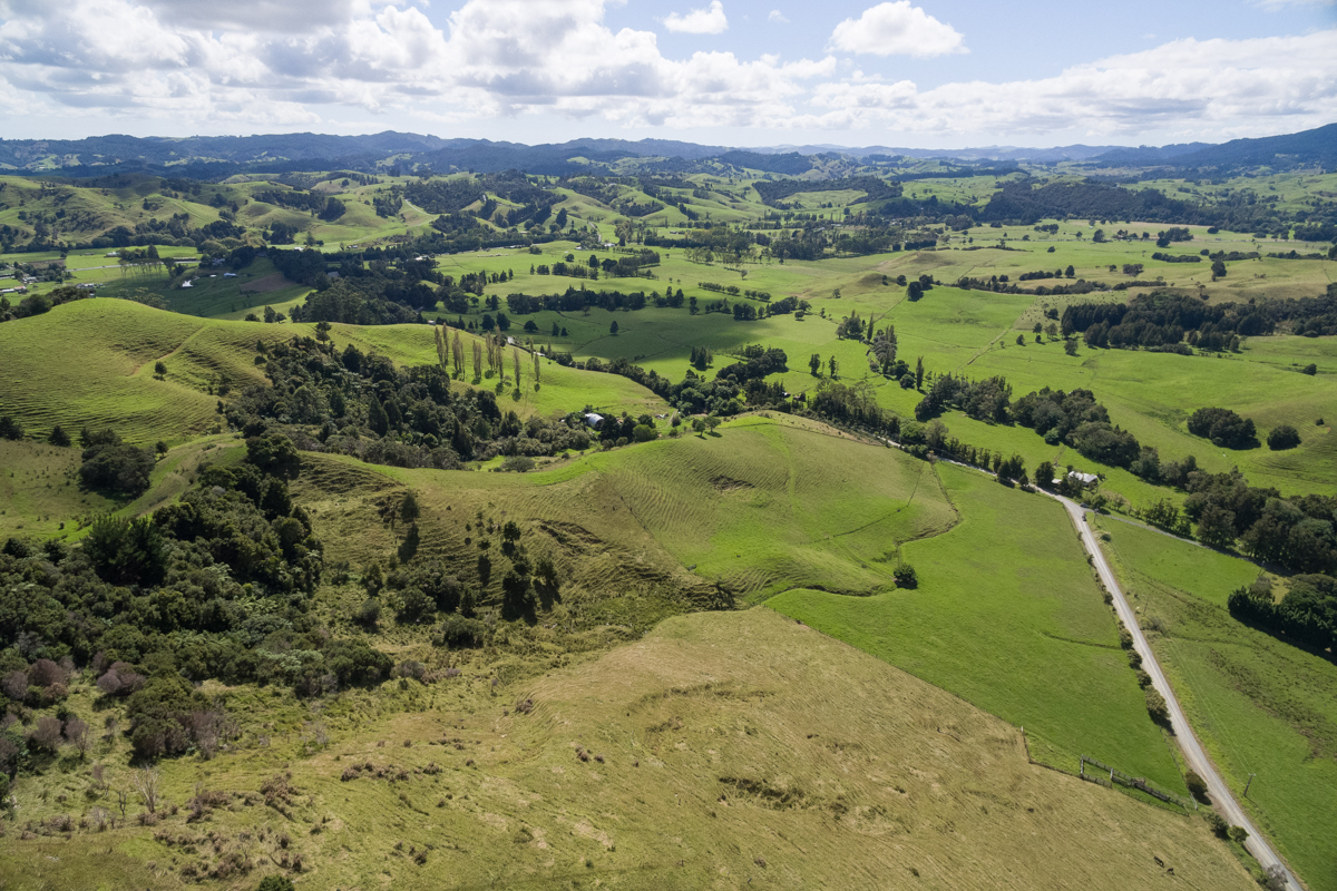
The mailout follows a project conducted with other Northland councils to map and identify Significant Natural Areas (SNA) within each district. The Council is required to identify SNAs by Northland Regional Council. It is also obligated to protect these under the Resource Management Act and by its own District Plan. The Council is currently developing a new District Plan and is required by the Government to identify and manage potentially sensitive environments more specifically during this process.
A SNA is land that has high ecological value due to the native plants and habitats within it. Typically, this will be an area of native bush recognised for its natural values due to the presence of native species that are rare or endangered.
Mayor John Carter says many Far North property owners will already be aware that they have areas of potential significance on their land.
“The mapping exercise undertaken last year by consultant ecologists, Wildland Consultants, increased our knowledge of the natural areas in Northland and we now know that approximately 42 per cent of our district contains potentially sensitive environments. This is an increase from around 30 per cent when the district was last mapped for a similar purpose in the 1990s.”
Mapping involved analysis of existing information, including the Department of Conservation’s Protected Natural Area maps, as well as using updated aerial imagery and site visits to ensure the accuracy of SNA mapping. About half of the land identified by the mapping exercise lies within the Department of Conservation estate, but Mayor Carter says some landowners will be learning for the first time about SNAs on their properties and may have concerns.
“For most, this will have very little impact. There is no requirement to protect the SNA through fencing, covenants or other methods, unless you intend to develop or subdivide the land.”
The proposed District Plan will include specific rules for SNAs related to clearing vegetation or when subdividing and this is when landowners may need to apply for resource consent.
Potential benefits of identifying remaining sensitive areas includes protecting the district’s archaeological, geological and cultural heritage; boosting science, research, and educational opportunities; and increasing tourism, especially eco-tourism. Protecting SNAs can also improve overall resilience to the effects of climate change.
Mayor Carter says some compensation is available when protecting sensitive areas through a Council conservation covenant or a private covenant. This can include rates remission for voluntary conservation covenants.
Property owners who are contacted about SNAs will also receive a feedback form. This will allow them to provide the Council with more detail about their property and the SNA. They can also make a formal submission when the Proposed District Plan is publicly notified later this year. The full extent of the mapped areas can be seen by viewing the Draft District Plan online.
Last updated: 04 Apr 2024 12:56pm
ℹ️ You can also subscribe to our monthly newsletter to receive a summary of the latest news and updates from the district, delivered directly to your inbox. Sign up here.