
Report releases emissions footprint for the Far North
A new report outlining the levels of greenhouse gas emissions in Te Tai Tokerau will be used as a tool to guide Far North District Council’s future decision-making when tackling climate issues.
A new report outlining the levels of greenhouse gas emissions in Te Tai Tokerau will be used as a tool to guide Far North District Council’s future decision-making when tackling climate issues.
Northland Regional Council commissioned the Far North District GHG Emissions Inventory to create a footprint for the Far North. Data was collected during 2021 and 2022 and is part of a broader study to develop emissions inventories for Te Tai Tokerau’s three districts – Whangārei, Kaipara, and the Far North.
The results will be used to assess trends and changes in the emissions produced in the Far North over time and help make informed decisions on how the council promotes, monitors, and supports communities to reduce emissions.
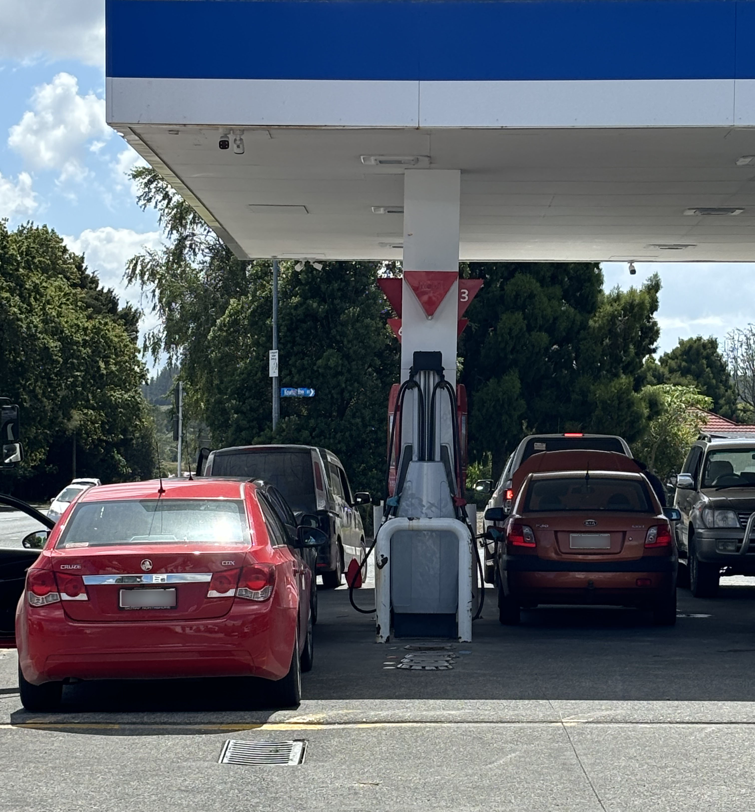
The report shows agriculture and transport are the most significant contributors to greenhouse gas emissions in the Far North.
The council is committed to mitigating climate change by working with businesses and communities towards reaching net zero by 2050. It has partnered with emission reduction platform FutureFit, which has an easy-to-use emissions calculator providing a snapshot of people’s impact on the planet.
Head to our website to learn more about the council’s climate actions.
Photo: Transport is one of the most significant contributors to greenhouse gas emissions in the Far North.