
Puckey Ave chip seal temporary as works continue
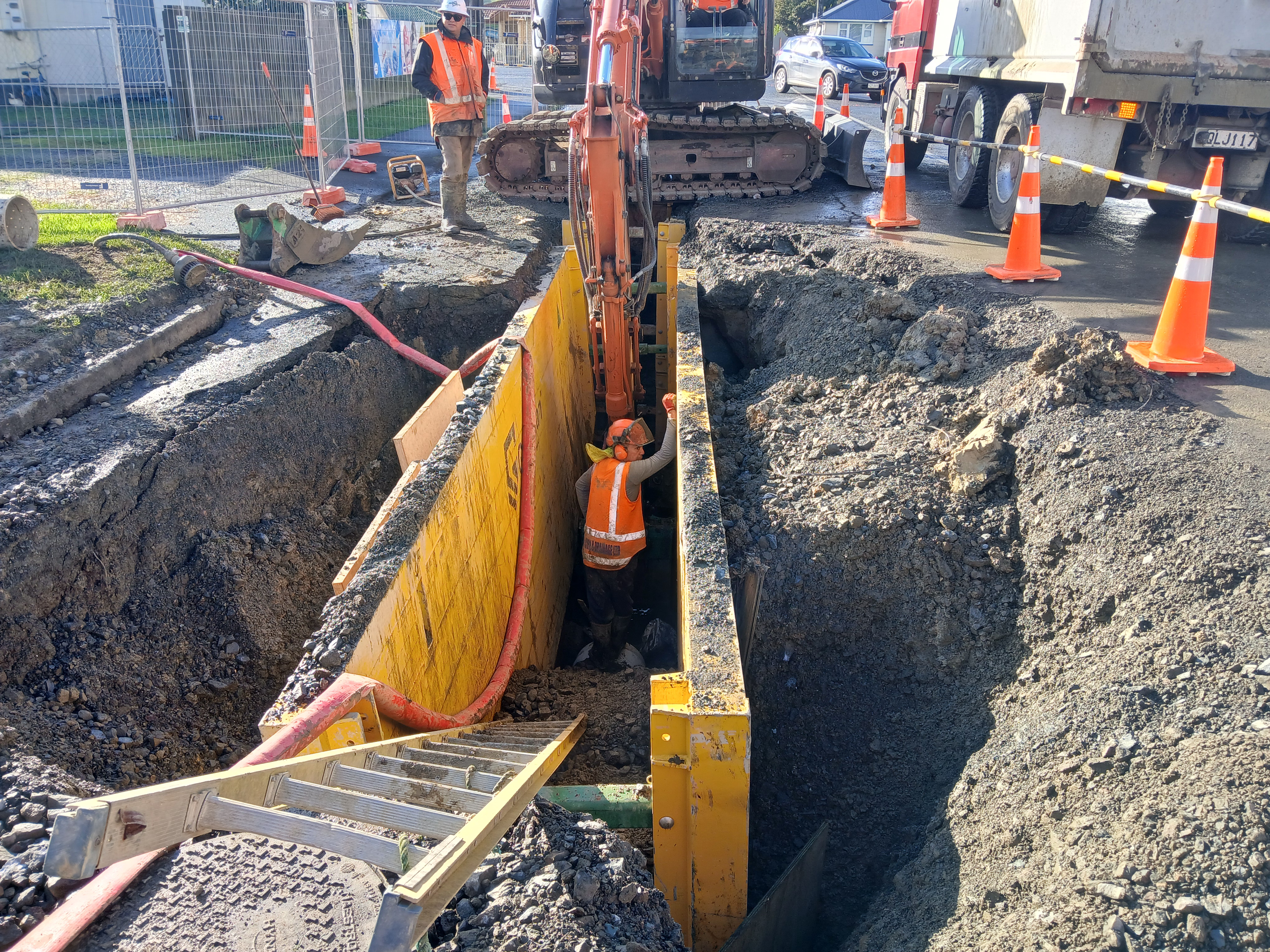
Recent works on Puckey Avenue in Kaitāia have prompted feedback from residents seeking clarity on whether the road seal applied is complete. The chip seal currently in place was applied as a temporary surface to allow the road to reopen while nearby wastewater network upgrades continue.
Puckey Avenue is part of a larger project to reduce wastewater overflows and strengthen Kaitāia’s wastewater network to support future population growth. This first stage of the project includes installing about 0.9km of new wastewater pipe between Bank Street and Bonnetts Road, removing old asbestos cement pipes, building new manholes, and constructing an upgraded pipe bridge. The installation of two large underground emergency storage tanks at Bonnetts Road are also part of these works.
Following trenching work on Puckey Avenue, temporary chip seal was applied to minimise disruption to residents and local businesses so the road could reopen with limited traffic management.
Final resealing on Puckey Avenue is scheduled for early February, weather permitting. These works will include removing the existing road surface, stabilising the base with cement and graded aggregate, compacting it with heavy rollers, and applying a new seal. Staged closures will be required during this time, with a full road closure likely during stabilising and sealing. Access will be maintained for residents and businesses throughout these works, with detours in place for other road users. Residents and businesses on Puckey Avenue will be notified by letter before this work begins.
The Far North District Council thanks the community for its patience as these essential upgrades continue.
Map below – street locations of stage one of the wastewater overflow reduction project.

Tags: News story