Maritime Facilities in the Far North
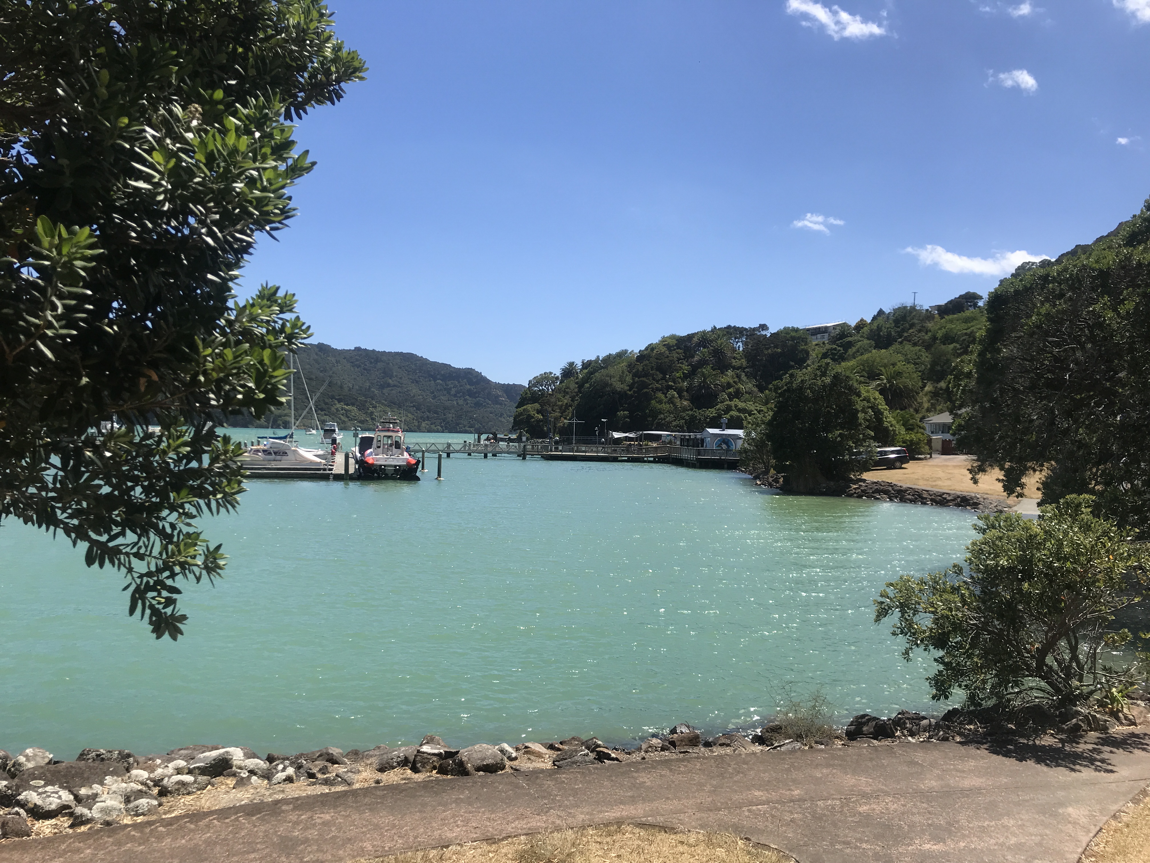
Use the interactive map to locate the facilities we operate around the district. Navigate your way into the map using the '+' or '-' symbols, in the top left corner of the map. Click on a boat ramp icon for a link to information on trailer parking, car parking and ramp capacity for that location. Click on a wharf or jetty icon for a photo to identify that location.
Far North Holdings Limited is the commercial and asset management arm of Far North District Council. It manages property, maritime and transport assets on behalf of Far North ratepayers and is focused on boosting investment and employment for the benefit of Northland communities.
Select an area below for detailed information about boat ramp capacity, access, car parking and related facilities.